
Spatial Information System
of Vernacular Architecture and Settlements
The project focusses on the creation of a spatial information system (hereinafter SIS) of vernacular architecture including technical entities and settlements. This system shall be based on unambiguous spatial identification of the documentation, which is contained in the list databases records, and its interconnection with GIS. The main data storage of the system includes archives of the SOVAMM digital and digitized documentation. This information database is supplemented with details of construction and historical surveys, beginning with the inventory and settlement research to the construction and historical research into particular selected most valuable and endangered constructions.
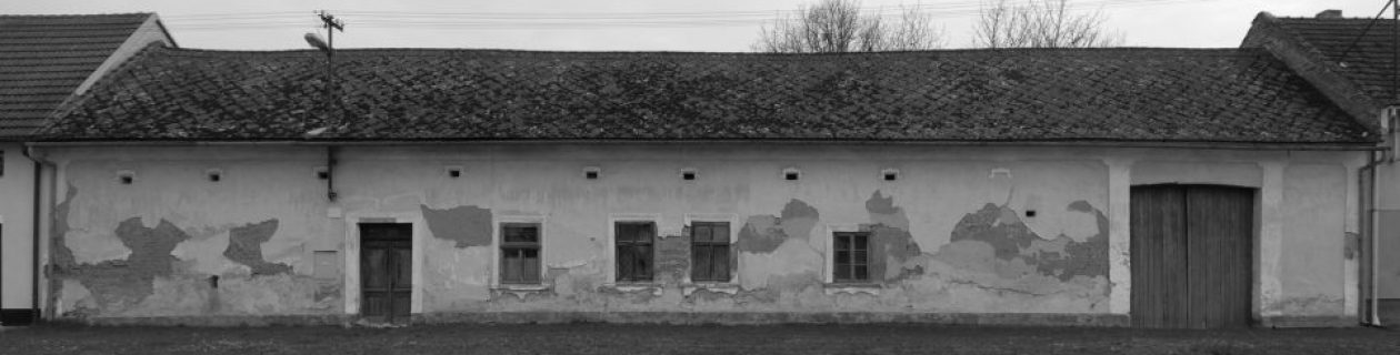
The project´s major focus is on vernacular (rural and building) architecture, which is among the most endangered typological kinds of intangible heritage and which mostly includes regional monuments that co-create cultural identity of particular sites. The realization and presentation of these monuments is one of the key preconditions to safeguard the values of countryside heritage for future generations.
Since 1964, the team members have been participating in the systematic listing and documentation of and research on the vernacular architecture; since 1988 they have also been taking part in projects of urban and countryside reserves and zones, and since 2008, they have been co-developing plans to safeguard generally protected territories. Since 1992, the team members have been developing a database with historical locations and regions, CZ_RETRO, since 2001, they have been participating in the formation of the disciplinary GIS SÚPP/ NPÚ [National Heritage Institute – NHI] (hereinafter PaGIS), and since 2008 they have been participating in the development of the NHI meta-information system (hereinafter MIS), which is, likewise PaGIS, part of IISPP.
The major objectives of the SOVPIS project include:
- classification and archiving of the large SOVAMM documentation (photo-documentation, stocktaking, localization, and constructional-historical research) and making it available
- development of spatial information system for vernacular architecture, pre-industrial technical monuments, and settlements, which shall be based on the principal of a unified database and unambiguous spatial identification of documents and the interconnection of them with PaGIS
- updating (in terms of content and technology) of the database for the Atlas of Vernacular Architecture; this database was formed in SOVAMM preceding grant projects, and it is supposed to be integrated in SOVPIS
- making SOVPIS available through a website
- SOVPIS interoperability with IISPP and the database of the National Name and Subject Authorities of the Czech Republic
- development of other SOVPIS themes – mainly the model examples of the renewal of vernacular architecture, which makes it possible to search for examples of good practice in reconstruction of buildings, their parts or particular structures
Since the beginning of the project, we have counted upon the connection to IISPP NPÚ [National Heritage Institute] to store and make the SOVPIS documentation and database available, namely through sharing of PaGIS spatial identification elements, which have been developed in mutual cooperation, as well as sharing of the central description database of MIS documents with the development of the local data warehouse for the SOVAMM archives.
The Agreement on Cooperation to Create IISPP and SOVPIS was entered into on 14 July 2017. The local MIS – SOVAMM data warehouse was put into operation on 6 October 2017.
Updated: