The table “SOVPIS Localities” includes a summary of localities for which the SOVAMM archival documents are published step by step through the Photo Station app.
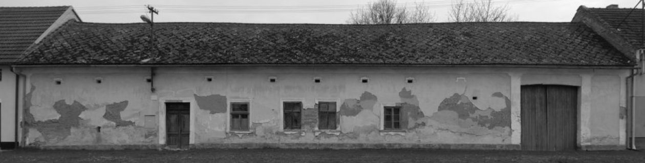
The table includes for each locality, which has already been published in PhotoStation, an image of a chosen photo, the locality code (code_cz), the locality name with specifying data from the field Locality_G of the CZ_Retro database (a historical region / a real type of locality, for example: a city, a village, an agglomerated village, a solitary settlement, a farmstead, a mill, an abandoned village, an abandoned mill etc.)., a link to the map of the Heritage Catalogue, SOVPIS folders accessible through Photo Station, and SOVAMM documents stored in MIS.
The table facilitates the full-text search / filtration by entering the text string in the field “Search”. The default setting is for ten records per page. The user can change the number of displayed records by his/her selection in the roller “Displayed records”. If a higher number of records shall be displayed, then browsing is made possible by switching < Previous ¦ Next > on the right-hand side under the table.

- The link to the map of Heritage Catalogue is directed to the definition point of localities in the basic map application of the Monument Care Geoportal (https://geoportal.npu.cz/webappbuilder/apps/93/?se=Prostorov%C4%9B%20identifika%C4%8Dn%C3%AD%20prvky%20IISPP&la=2&fk0=KOD_CZ&fv0=6360&zo=1), where 6360 is a code for the locality of Kaňovice (Kaňovice /Luhačovice/ village)).
- The link to the SOVPIS folder in PhotoStation has been created using tools for sharing, which are available in this application.
- The link to MIS has been formulated based on the principle of results of full-text search by areas, which you can enter in the window for full-text search in the format: 6360 AND fond: SOVAMM Archives (http://iispp.npu.cz/mis_public/searchDocument.htm?search=lokalita%3A+6360+AND+fond%3A+Archiv+SOVAMM), where 6360 is the value of locality code (meaning Kaňovice in our example (Kaňovice /Luhačovice/ village)).
Updated: